GeoConservation
Staffordshire
Geoconservation for Staffordshire and Stoke-on-Trent.
Part of GCUK.
Welcome to GeoConservation Staffordshire
GeoConservation Staffordshire Designates and Monitors Local Sites
Local Geological / Geomorphological Sites (LoGS)
- LoGS are areas of significant Earth Science importance that are considered worthy of protection other than those that are on statutorily protected land such as Sites of Special Scientific Interest (SSSIs).
- Most local planning authorities regard LoGS as equivalent to non-statutory wildlife sites and thus list them in their local plan
- LoGS are selected according to their value for educational use, scientific importance, historical significance and/or aesthetic qualities
GeoConservation Staffordshire Organises Geoconservation Site Clearance Events
- Site clearance re-exposes classic areas of Staffordshire Geology
GeoConservation Staffordshire Produces Geotrail Leaflets
- These are self-guided walks highlighting the geology, geomorphology and geologically related industrial history of parts of the county.
- The Hamps and Manifold Geotrail, the Churnet Valley Geotrail and the Cannock Chase Geotrail leaflets can be downloaded from this website
GeoConservation Staffordshire also has responsibility for the
Staffordshire Geodiversity Action Plan (SGAP).
- The Staffordshire Geodiversity Action Plan provides a framework to deliver a sustainable and local approach to geoconservation and geodiversity within the county.
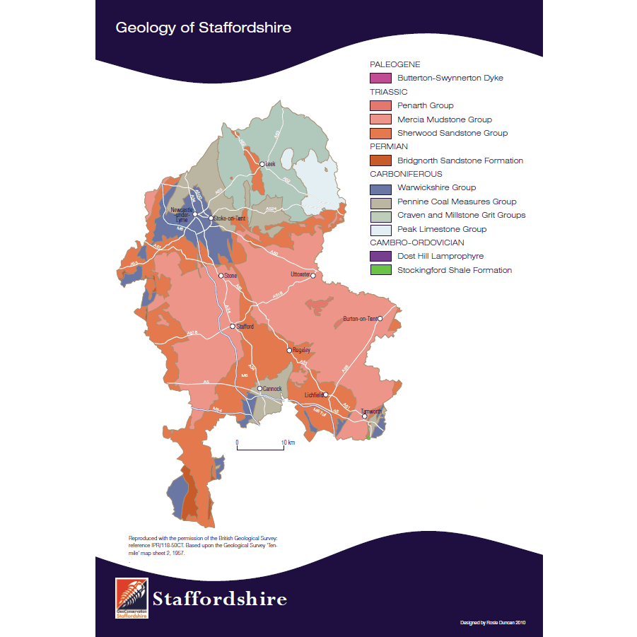
Brown End Quarry SSSI, Waterhouses, Staffordshire Moorlands
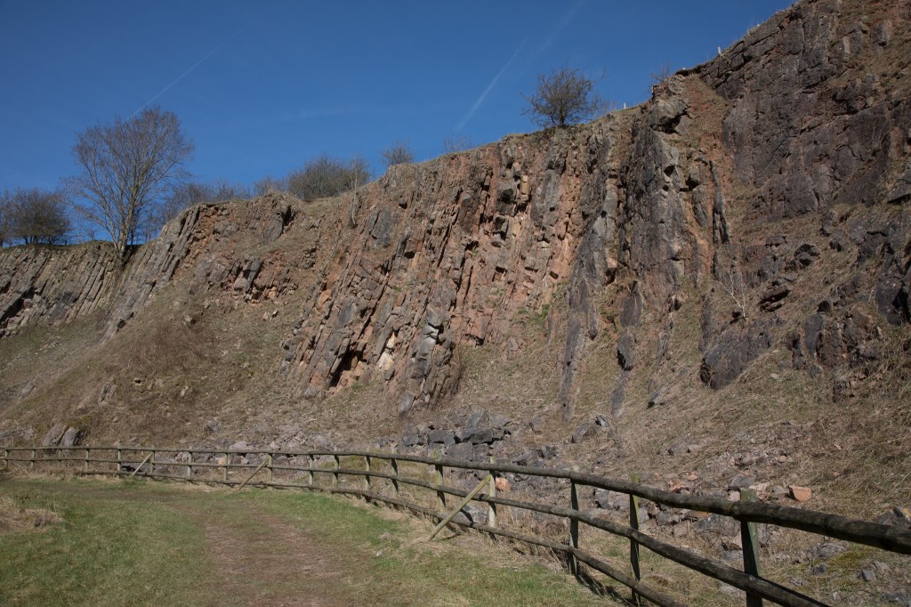
Satnall Hills LoGS, Cannock Chase
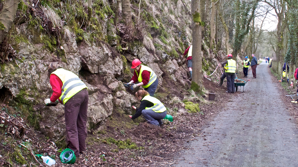
Site clearance, Sparrowlee Cutting, Hamps & Manifold Geotrail
